1st Fire Tower 50k, 26 Sept 2020
2 weeks after my Med City Marathon, I started watched the
weather (=Temperatures), looking for a weekend low temp in the 50’s to run this
event. 10 days out, I saw my weekend, the last weekend in September and the
last weekend to run this event. I chose Saturday Sept 26th to make
my way up to St. Croix State Park.
I’ve been known to have ‘phantom’ pains the week before a
race – a weak leg, a knee issue, minor things that never show up otherwise and
usually disappear completely before the race. This week was different, and not
in a good way. Not sure what I did (slept wrong?), but felt a little twinge in
my next Tuesday morning as I did an easy run. It became very tight by the next
day, and affected my sleep and how I moved throughout the next few days. Turning
my head was difficult, looking up (or down) was unpleasant, with tightness down
into my back. Thursday morning I did a 2 mile jog, and it actually felt better
when I ran, but once home and back to normal life – it came right back. Friday
night, the evening before my run, I resorted to taking ibuprofen. Got almost my
normal sleep, and woke up around 5am to get ready for the drive/run. Took
another dose for good measure – I expected I would be fine.
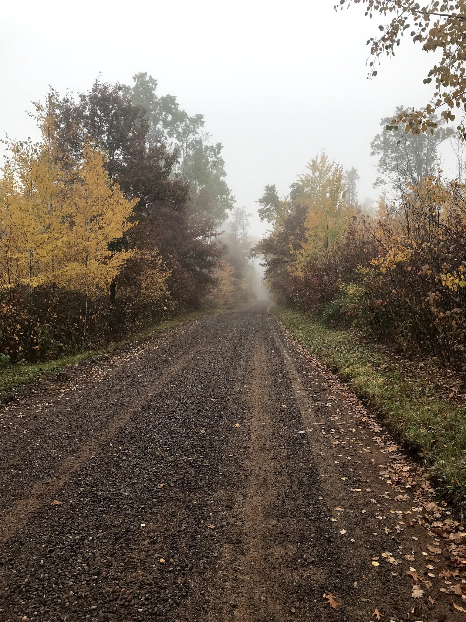
The 1hr 15 min drive to the park was fine even in a nice fog
the whole way. Temp was 57° and humidity was at 99%. Gates were open as I
arrived just before 7, and I made my way to my drop bag location, the Kettle
River Overlook, which I would come through around mile 14.5 and 20. Tucked a
small cooler bag, a jug of water, and a bag with shoes, snacks, and a roller,
behind a tree and made the ~20 min drive back to the start area. Parked in the
main lot and got ready (vest/bladder, snacks, phone, map, etc).
Having never been to the park before, I checked the map and
found the trailhead. There was a large scout troop camping adjacent to the
start, and wondered if I’d see them when I returned in 6+ hours…
Started off at 7:50am.
 |
| Entrance (as I left) |
 |
| tad Humid! :-) |
 |
| At the Start |
 |
| Course Map |
First couple of miles were horse trails and (packed gravel) roads.- not terribly even terrain, but flat. The whole course was pretty flat. Started out comfortably, had a printed course map and written directions with me, plus the State Park Map app (which was wonderful!) on my phone. Had the gate numbers and suspected mileage marked on my map for further reference. I was ready!
I guess this part (the picture below) was the only time I felt unsure about my path. Sign obviously says Mathew Lourey State Trail, but part of me wondered if the trail was just parallel to the road. After going along a bit, I realized I was probably on the right track. Either the printed map or the App had me second guessing it - but I followed the sign and was fine.
Leaves were beautiful out. The morning fog was quite bad driving in, but the park became clear (below the tree tops anyway) with cloudy skies. Temps only warmed up a few degrees (to ~63°), but I was very happy with that.
Got tot he Firetower just as a couple were making their way down it. I was happy to see it open - a big reason why I wanted to run this race. I made my way up - but didn't have much of a view as it was still foggy.
 |
| Could see fine straight down. |
 |
| It's really only a minute or 2 climb up or down. |
 |
| Steps added for 'vertigo' option |
It would have been good to have the tower later in the race, so maybe it would be a little more challenging. This was about 90 minutes in, so just about 9 miles in I think. Spent about 6 minutes there total, including eating a little snack, before heading back down the road. Still felt fine! Was about 7 miles away from my aid station, but this next section I was looking forward to as it was beside the river.
Hadn't seen too many people on the trails, but I did see a few hikers. No other runners.
 |
| First view of the Kettle River (at Big Eddy) |
Absolutely loved this section! Was pretty technical at first, until it got on the main trail, where it was just a little less straightforward. Good to finally be on some singletrack! I did kick a root pretty good with my right foot. Wasn't too bad (I would finally lose the blackened nail 2 months later).
These next few photos are at the Kettle River Overlook, where I had stashed my aid. It was Crowded! (and would be even more so later). Time was 2:52, and distance was about 16 miles. I refilled my bladder with some Gatorade/water, got out my PB&J sandwich and chips and cookies and snacked some - bringing some along with me. Used the roller a bit, and stashed it all back behind a tree. Left knee was slightly sore, but manageable. Same with some outer upper thigh soreness...it would soon disappear.
 |
| and wonderful views of the river! |
 |
| Back onto the trail |
Next section was a loop down (~2mi) to the Two Rivers point, then back up ~2mi, before cutting down the road to the aid station at Mile 21.
 |
| Happy to be in the woods! |
 |
| pine straw |
 |
| Two Rivers (Kettle And St. Croix) |
 |
| Swans! |
Soon after I passed the swans on the river, I made my way down the road back to the Aid Station. I had thoughts of taking my aid station with me, so I wouldn't have to spend 45 minutes after the run to pick it all up. Silly idea as I then recalled I also had a pair of shoes, just in case. No way to carry much of it at all. As I was turning to go into the parking lot, someone heading out on the trail asked if I was Brian. I said yeah, and they said "good luck". I had put a note with my stuff stating I was running a 31 mile race and to please leave it. That was very nice of them!! This was a very quick stop...and the lot was much more crowded. Distance of ~21 miles, time of 3:55. I was still moving pretty well, but slowing down. Saw a few people I had seen earlier in the day (tower couple, plus a few hikers).
 |
| Joys of running in the Fall! |
This next 4.4 mi section (Bear Creek Trail) was not my favorite...some nice views with the leaf coverage, some horses, very few hikers. The ground was an overgrown jeep road, and the following section, although it was only not even 2 miles as you headed back to Gate 31 from the south, was an uneven, slightly overgrown road/trail. You did feel like you were in the middle of nowhere, definitely off the beaten path. I walked/jogged as I could, and was feeling it in my legs.
Dealt with heavy legs the last few miles, and tried to judge my time, wondering if breaking 6 hours was possible. Once I determined it was not, 6:10 was my next goal. It was good to pass Gate 31 (5:22) and reverse my path back to the finish. A very runnable section, and a few more people out on trails.
I made my way to the finish and stopped my watch at 6:07:54! Mileage (per my phone app) showed 32.4 miles. (So 6hrs was doable if it was a 31 mi course!)
 |
| Tired, happy after 6+ hours! |
The scout troop was still there, and avoided me as I laid down while they threw a football nearby. I was pretty happy with my event, and glad to have done it, even solo. I recommend this event and will run it again I think!
Wasn't thrilled about retrieving my stuff, but it was fine.
Had my typical 2mi recovery walk the next day, and after 2 easy runs that week (with some knee soreness), was back to normal the following weekend. Not bad (for me) for 3 races in 2.5 months!
Next up - Icebox480 on Nov 7th!